

Disaster Response Commonly Used Information Systems
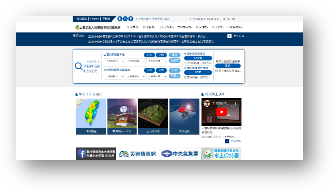
I. Debris Flow and Large-scale Landslide Disaster Prevention Information Website
Provides the general public with related knowledge and disaster information on debris flow and large-scale landslide warning announcements, evacuation and sheltering, self-help disaster prevention communities, major hillside disaster events, typhoon, and rainfall information.
Website Link: https://246.ardswc.gov.tw

QR Code
Website Screenshot
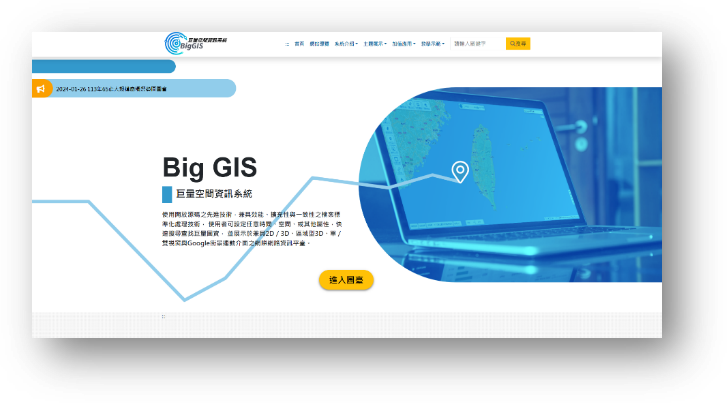
II. BigGIS_Massive Spatial Information System
BigGIS integrates years of open-source satellite, commercial satellite, aerial photography, and UAV orthophoto images across Taiwan, publishes the core map data of the Agency and various units, and assists in applications such as soil and water conservation work, disaster events, historical changes, landform description, scientific research, and environmental assessment. It provides immediate online access for other units and the public, achieving the goal of open sharing of government resources.
Website Link: https://gis.ardswc.gov.tw

QR Code
Website Screenshot
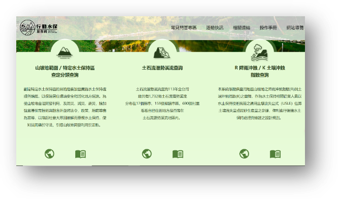
III. Mobile Soil and Water Conservation Service Website
Provides the public with the ability to query whether land is located in hillside areas, specific soil and water conservation areas, or potential debris flow streams by land number or map; it also provides queries for the Rainfall Erosivity Index (R) and Soil Erodibility Index (K) in hillside areas across Taiwan, serving as a reference for soil and water conservation professionals to estimate soil loss or sediment yield using the Universal Soil Loss Equation (USLE) in accordance with the Soil and Water Conservation Technical Specifications.
Website Link: https://serv.ardswc.gov.tw

QR Code
Website Screenshot
Disaster Prevention Technology Application Information Systems
I. Historical Image Platform
Integrates map and image technologies to record this land through images provided by the government and the private sector.
Website Link: https://photo.ardswc.gov.tw

QR Code

Website Screenshot
II. Technology Research and Development Platform
Promotes cross-domain technology integration among industry, government, academia, and research sectors to enhance practical experience and technical support capabilities.
Website Link: https://tech.ardswc.gov.tw

QR Code
Website Screenshot
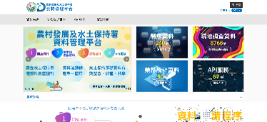
III. Data Management Platform
A single window for integrating and supplying internal and external data circulation from various data sources of the Agency.
Website Link: https://data.ardswc.gov.tw

QR Code
Website Screenshot
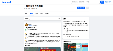
IV. FB Group for Sediment Disaster Prevention and Information Application
Shares information on soil and water conservation, rural development, civil engineering, geotechnical engineering, geology, and disaster prevention, among others.
Website Link: https://www.facebook.com/groups/718089658359103

QR Code
Website Screenshot
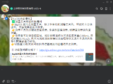
V. Line Community for Sediment Disaster Prevention and Information Application
Welcome to join the "Sediment Disaster Prevention and Information Application" exchange platform! This community is dedicated to expanding channels for information sharing and promoting the exchange of disaster prevention knowledge and practical experience, allowing more people to access the latest disaster prevention information. Joining password: swc2025.
Website Link: Join LINE Community

QR Code
Website Screenshot
Reference Source (Delete upon official launch)
General Template Slides P91, 92